

 Deutsch
 Español
 Français
 Hrvatski
 Italiano
 Polski
 Português (BR)
SiteView
What is PlanRadar SiteView?
SiteView captures 360° imagery of a project while a user walks the site, with the images automatically mapped onto a 2D plan, creating a detailed visual record of activity.
SiteView provides full 360° visual documentation of a project site, delivering full transparency and reducing risk and rework.
What can you do with it?
- Indoor and Outdoor reality capture.
- View and navigate the 360° images.
- Compare 360° images from different points in time.
- Save time by avoiding manually taking photos and positioning them on plans.
Use Cases
- Progress documentation
- As-Built documentation
- Quality assurance
- Photo documentation
- Evidence Collection
- Health & safety inspections
- Condition schedules (pre-renovation documentation)
What is it not?
- It's not a point cloud and it does not generate a 3D model.
- It' not a video.
- It's not a scan.
- It's not automatically predicting construction progress.
Activate the SiteView Feature
Access & Permissions
Requirements
Hardware
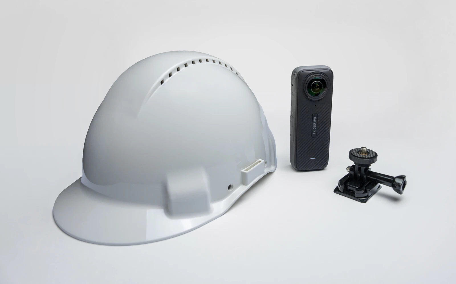
SiteView is optimised for the Insta360 X4 camera and the Insta360 X5 camera only.
The camera must be mounted on a helmet and its recommended to use a high capacity micro SD card.
Plan Requirements
For optimal results it is recommended to use architectural plans. It is important that structural elements like walls are the most prominent elements.
Terminology
Run
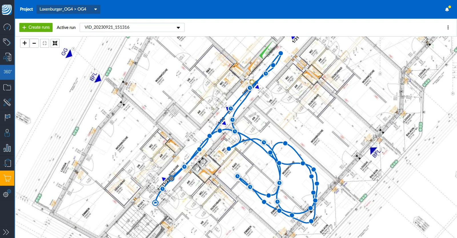
A run consists of the path of all 360° images positioned on a 2D plan of one single recording.
It is also possible, but not recommended to create a run without the PlanRadar mobile app, as described in Record a Run with the Insta360 App and Upload a Run in the Webapp.
Recording
A recording is the video that is uploaded and then processed to generate a run.
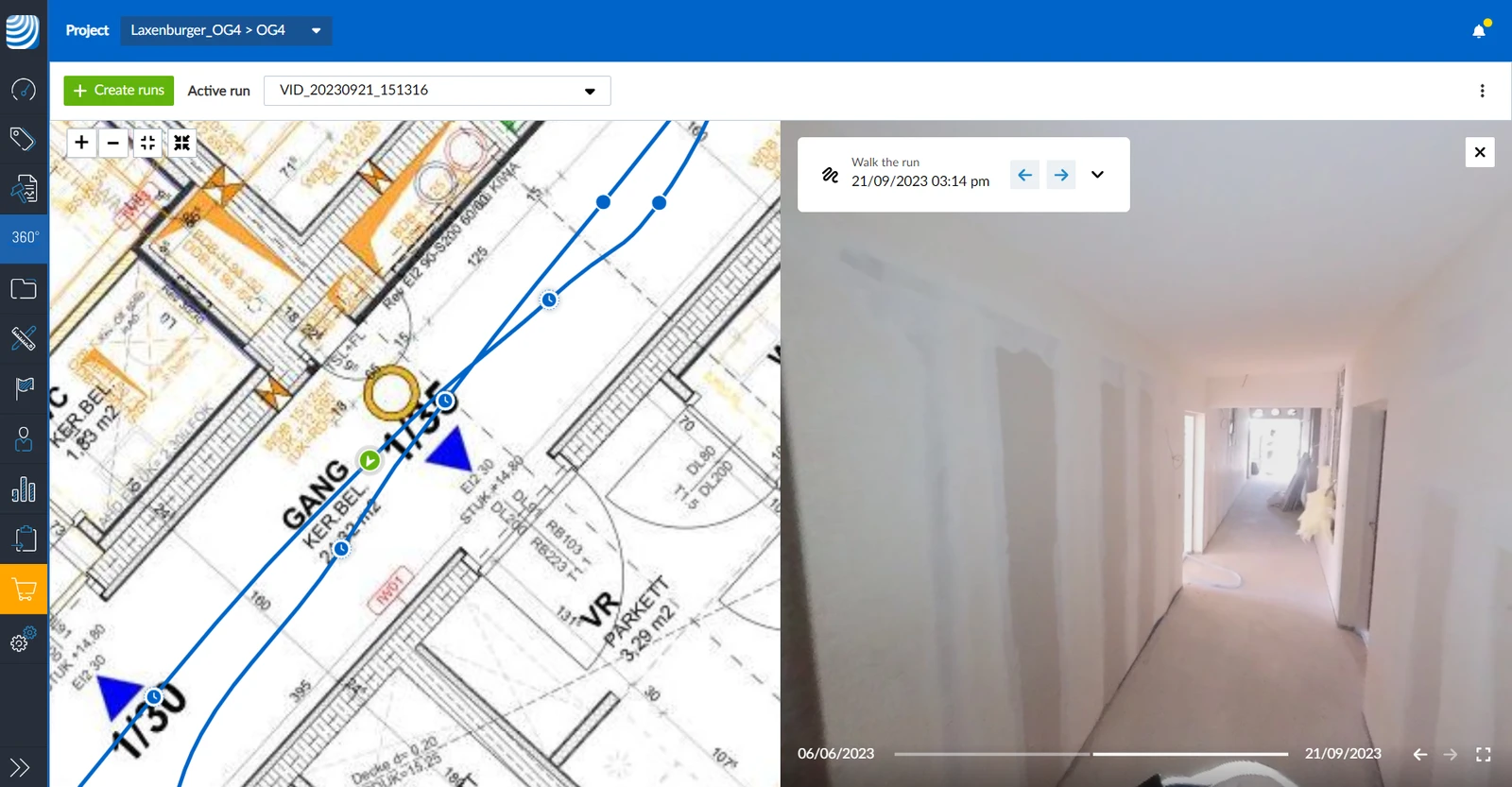
Image point
An image point is a point on a run that can be selected to view the corresponding 360° image.
Still Image
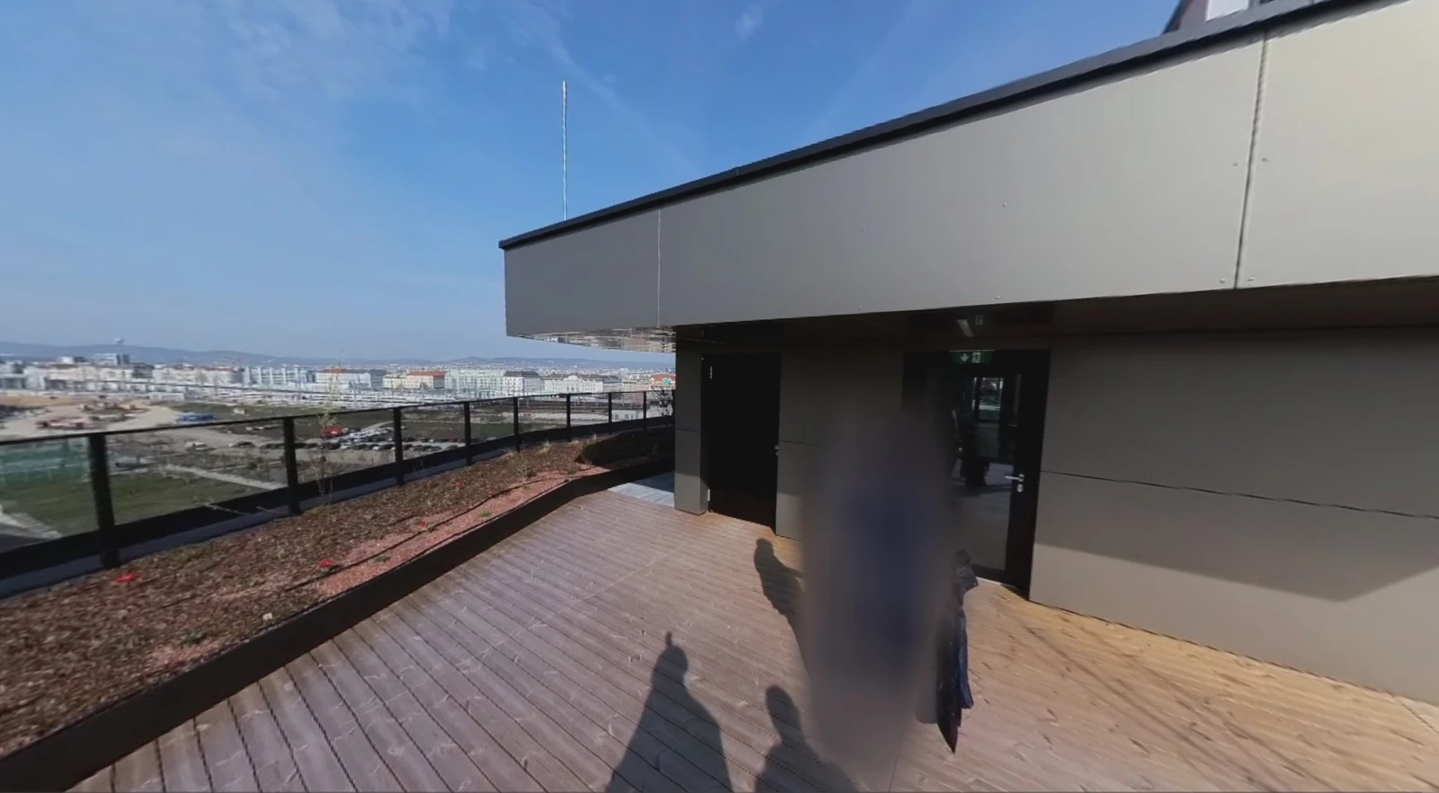
SiteView high-resolution 360° still images are photos you take and place on the plan manually — they’re not pulled from a video recording of a run. They offer the highest quality: 72MP resolution, no motion blur, and sharp detail even in challenging lighting.
Privacy
All people captured in the images are automatically blurred out for privacy reasons.
Technology
SiteView is powered by an algorithm called SLAM (Simultaneous Localization and Mapping). SLAM develops a map of an unknown environment while moving through it and is a core technology behind self-driving cars.
PlanRadar SiteView uses image-based SLAM to estimate the path of the person who walks the site on a digital construction plan, with AI-powered computer vision algorithms focusing on depth estimation to align the path to the plan.
Updated June 11, 2026